


The conclusion of Operation Rai Balang 2026 (OPRB26) has given the Pacific Islands Forum Fisheries Agency (FFA) and its members an energetic start to 2026 regional fisheries surveillance efforts with strong, coordinated action.
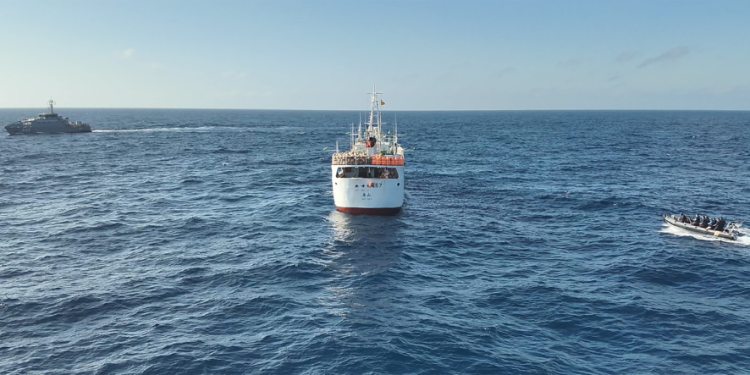
The operation involved coordinated surface patrols, aerial surveillance and intelligence analysis supported by the FFA Regional Fisheries Surveillance Centre (RFSC) at the FFA headquarters in Honiara as OPRB26 brought together FFA Members and regional partners in coordinated patrols and aerial surveillance covering approximately 13.3 million square kilometres of ocean across the EEZs of the Federated States of Micronesia, Kiribati, Republic of Marshall Islands, Nauru, Palau, Papua New Guinea, Solomon Islands, and Vanuatu.
Australia and New Zealand supported OPRB26 through the Pacific Quadrilateral (PQUAD) partners, alongside France and the United States, contributing to patrol vessels, aircraft and surveillance support.
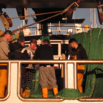
Preliminary results from the operation recorded 74 vessel inspections conducted both at sea and in port, along with 82 vessel sightings across the operational area. Surveillance efforts identified eight high risk vessels leading to seven vessels of interest flagged for’ further investigations and reporting to Flag States.
Three fishing vessels were apprehended for suspected violations requiring further investigation.
‘Operation Rai Balang is part of FFA’s ongoing work to maintain compliance across the Pacific tuna fishery and combat illegal, unreported and unregulated fishing in the region,’ said FFA Interim Deputy Director-General and Director of Fisheries Operations Allan Rahari.
‘By conducting vessel inspections, analysing vessel activity and coordinating surveillance across our Members’ waters, we help ensure that fishing vessels operate within national laws set by our Members and abide by international fisheries rules. These efforts send a clear message that the Pacific region is actively monitoring its fisheries resources. During this operation we combined aerial patrols, vessel boardings, and advanced satellite and remote sensing tools to monitor fishing activity and areas of interest. This coordinated approach helps us identify high-risk vessels earlier and support timely enforcement actions by our Members.’
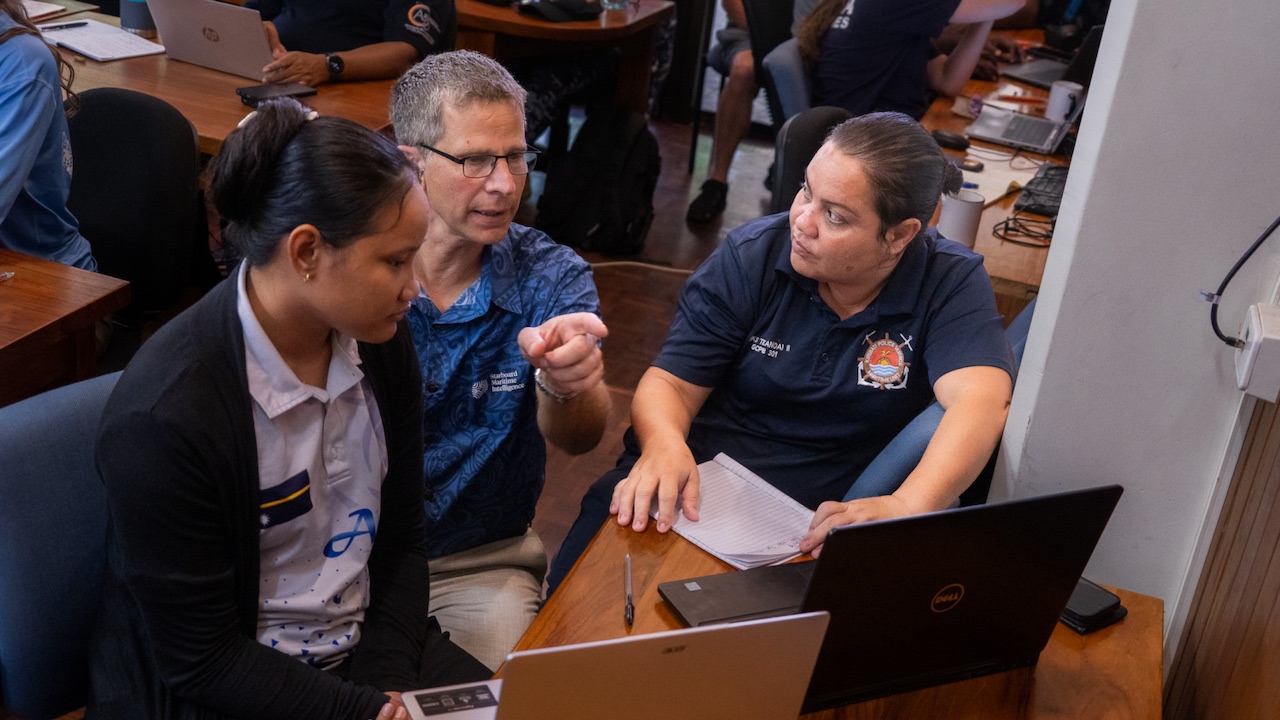
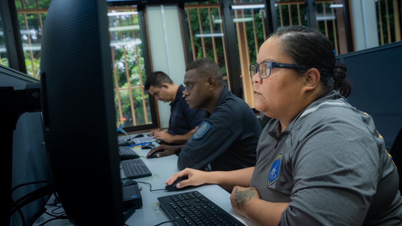
The operation involved coordinated surface patrols, aerial surveillance, intelligence analysis and the support of 22 seconded participants based at the FFA Regional Fisheries Surveillance Centre (RFSC) at the FFA Headquarters in Honiara, Solomon Islands. The seconded participants include Members, partners and the FFA Secretariat who provided support to RFSC coordination and data analysis.
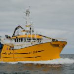
Participating assets included patrol vessels and port inspectors from FFA Members as well as maritime surveillance aircraft from Australian Defence Force and the FFA Aerial Surveillance Aircraft (ASP) operating under regional partnerships.
The operation combined national enforcement activities with regional intelligence support through platforms such as the FFA Regional Surveillance Picture (RSP), the Regional Information Management Facility (RIMF) and Starboard Maritime Intelligence, enabling Members to target high-risk vessels and coordinate surveillance assets more effectively.