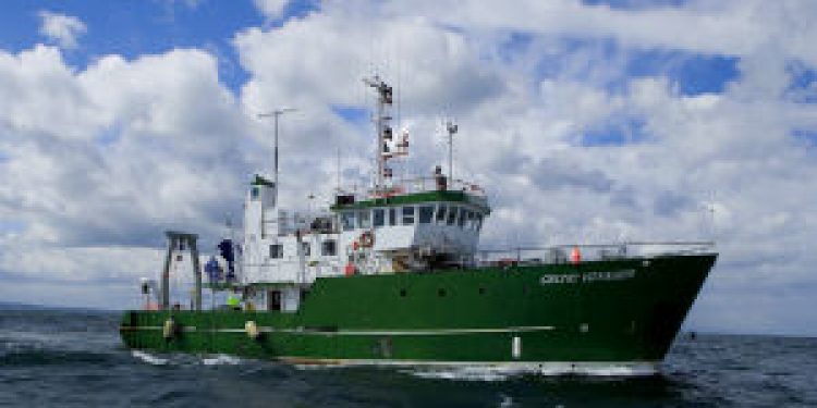
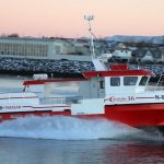
Ireland’s national research vessels RV Celtic Explorer and RV Celtic Voyager are set to lead Europe in 2011 with an all time record of 627 days at sea between the two ships, well above the average for equivalent European research vessels.
Their work will range from fisheries surveys to underwater mapping and from climate studies to deepwater surveys with the remotely operated submersible ROV Holland 1.
They will also undertake training missions and carry out essential maintenance work on Ireland’s network of data buoys that, in parallel to their research function, supply the vital information on which weather and shipping forecasts are based.
Their increased activity reflects the growing imperative to understand and sustainably manage the economic potential of our offshore marine territories, an area over ten times that of Ireland itself.
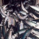
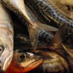
Commercial fish stock assessments will be a major part of the two ships’ workload. Between them, the RV Celtic Explorer and RV Celtic Voyager will devote 141 days on stock surveys in support of the sustainable management of Ireland’s fisheries.
This will include underwater television surveys of valuable prawn stocks off the Aran Islands and in the Irish and Celtic Seas, work on blue whiting, a survey of herring stocks in the Northwest, as well as the comprehensive fifty-four day annual Irish Groundfish Survey which will take place in stages all around the Irish coast from September to December. This survey, the largest undertaken by an Irish research vessel is essential to provide the scientific data used to inform the annual quota negotiations in Brussels each year.
“Research vessel surveys are a critical part of the work we do,” said Dr. Paul Connolly, Director of the Marine Institute’s Fisheries Science Services Team. “The survey results are not only used in the scientific assessments of the stocks, but also to inform our meetings with industry through the Irish Fisheries Science Research Partnership (IFSRP) which was established in 2008. This group is not only looking at ways to protect depleted stocks, but also at an “ecosystem approach” to fisheries management, where scientific information and fishermen’s practical knowledge is combined in a holistic way to reach workable solutions.”
The flagship of Ireland’s research vessel fleet RV Celtic Explorer is specially adapted to acoustic fish stock assessment, which employs beams of sound to measure the number, size and type of fish in any particular area. The ship is equipped not only with a virtually silent diesel-electric propulsion system, but it also carries a specially designed “drop keel” that lowers an array of sophisticated sonar equipment below the surface turbulence caused by the passage of the ship’s hull through the water.
This equipment was used to great effect in the Irish National Seabed Survey, the largest civilian mapping project of its time, that charted Ireland’s undersea territory and produced stunning three-dimensional maps of the seabed.
These images comprise what the Institute has dubbed “The Real Map of Ireland”, which now features in a new primary schools atlas and can be downloaded free of charge from the Marine Institute website at www.marine.ie. The RV Celtic Voyager will play a large role in educating Ireland’s marine scientists of the future, with nine separate training missions for graduate and postgraduate students from colleges in Dublin, Galway, Cork, Tralee and Ulster.

