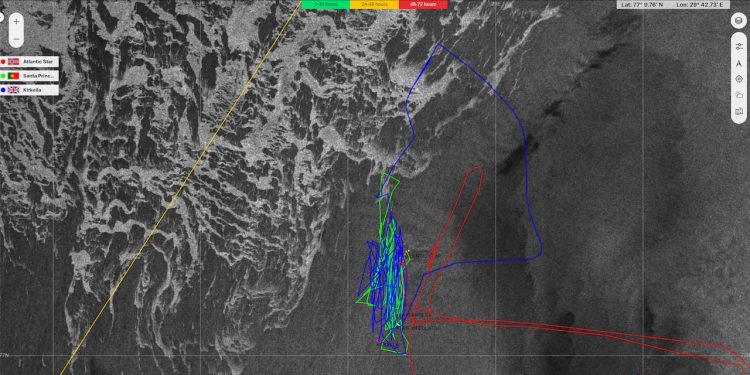
Fishfacts has released a new version of its far north ice cartography capability, which was introduced in the summer to cover sea areas around Greenland and off the coast of eastern Canada.
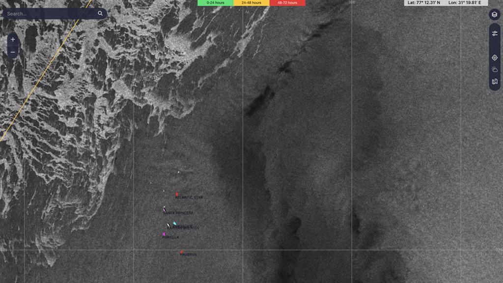
This has been developed initially in collaboration with skippers in Greenland and Canada to show ice coverage across fishing grounds.
The latest version has been expanded with improved coverage for the area off the north-east of Greenland.
Sea areas extanding eastwards to Svalbard and Novaya Zemlya have now also been added.
Users have the opportunity to zoom in to see the contours and extent of sea ice coverage. The Fishfacts ice charts are updated daily and utilise a variety of data sources to provide coverage.

