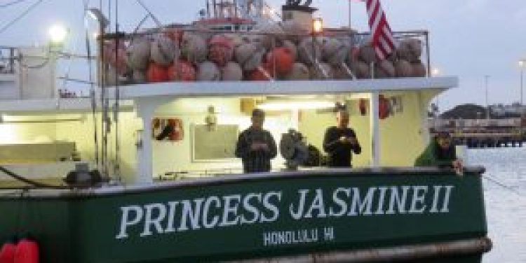
The Western Pacific Regional Fishery Management Council has agreed to a resolution that asks the US government to address a suite of concerns before acting on the proposed expansion on the Papahānaumokuākea Marine National Monument (MNM) in the Northwestern Hawaiian Islands. The proposed monument expansion could prohibit commercial tuna fishing by US vessels in two-thirds of US offshore waters around Hawaii.
The resolution requests a “public, transparent, deliberative, documented and science-based process” to address the proposed expansion, which could prohibit fishing in two-thirds of the US EEZ around Hawaii. The resolution is being sent to President Obama, the White House Council on Environmental Quality (CEQ) and the Secretaries of Commerce, the Interior and State.
The Council’s resolution also requests that the US government address the resources and tools needed to effectively manage and administer an expanded monument and to specify the technical, scientific and socioeconomic costs and benefits from monument expansion on marine resources, residents of Hawaii and the nation.
If any designation is made under the Antiquities Act of 1906 to proclaim an expanded monument, the Council recommends that the Magnuson-Stevens Fishery Conservation and Management Act process continue to be used to develop, analyse and implement fisheries management in the US EEZ waters enclosed by the monument.
Council Executive Director Kitty M. Simonds noted that the Homeland Security Department and U.S. Coast Guard did not receive additional enforcement assets to monitor the Pacific Remote Islands MNM after it was expanded in 2014, despite White House statements that additional enforcement would be provided.
Council members John Gourley of the Commonwealth of the Northern Mariana Islands (CNMI) said promises made by the White House and Pew Charitable Trusts during the 2009 creation of the Marianas MNM were also not fulfilled, such as the construction of a monument visitors’ center and increased jobs, tourism and revenue.
‘Hopefully the federal agency involved with the expansion will work with the Council,’ said Henry Sesepasara, a special advisor to the American Samoa governor and member of the NOAA Marine Fisheries Advisory Committee. In 2009 when the marine monument was established in American Samoa, its 50-mile boundary around Rose Atoll was slightly different from the 50-mile longline-prohibited area established by the Council. This misalignment led to the loss of approximately $237,000 annually to the fishery, until rectified by the Council.
All four of the nation’s marine national monuments are located in the US Pacific Islands, placing about 30% of US waters in the region as large-scale marine protected areas closed to commercial fishing.
‘No other region in the nation comes close to being that restrictive,’ said Council Chair Edwin Ebisui Jr. According to National Marine Protected Area Center data, all other US regions are less than a quarter of 1% no-take.

